Online Map

Showing posts with label Upper Gussy Trail. Show all posts

Monday, January 3, 2022

New blazing at Upper Paugussett State Forest


 This is a repost from Cyclesnack.

If you have ridden Upper Paugussett State Forest in the last month or two you might have noticed some new trail blazes on the now two legal trails.  I came to a verbal agreement with the State Forester that for official recognition of the Mulikin Trail, I and NEMBA (the Housatonic Chapter) would take care and maintain both the Mulikin and Gussy Trail and dissuade any future trails coming off these two trails.


The New Mulikin Trail is blazed yellow and it's a combination of my old Mulikin Trail, Easy Up, and my Mulikin Trail Re-route, which took the trail off the blue blazed, Lillalohna Trail.  


The Upper Gussy Trail has been blazed orange and in both cases there is no mistaking the trail blazes. Another unsanctioned popped up within the last year between the first unsanctioned trail and the Gussy and it seems over the summer a few stunts were built and were subsequently dismantled by the State.  The second unsanctioned trail has been blocked and I hope it stays that way.  


The creation of these unsanctioned trails has really been a set back for Mountain Biking and the development of new trails in this part of the state. The DEEP Foresters look at mountain bikers as selfish brigands who do what they want on public land. Just because you pay taxes in this state doesn't give you the right to build unsanctioned trails on State Land. You are paying taxes for the privilege of living in this state, as with every other state in the union. 


I am hopeful at some point that the first unsanctioned trail will be officially recognized but to do that I think what is needed now is the cessation of any additional illegal stunts and side trails, let things calm down and hopefully we'll be able to add this trail to the inventory, as well.

Sunday, January 10, 2016

Geocaching


Link to Map on Geocaching.com

The map shown above depicts all the Geocaches at Upper Paugussett State Forest, as well, nearby caches.  There is the Al's Trail series, which I have only scratched the surface of but given my current condition (not riding due to an injury) I will probably start doing more of them.  The ones that I have found are marked with the happy face icons.


Brodie and I parked at the Echo Valley and took the blue blazed trail to the Upper Gussy Trail.  The Upper Gussy uses an old right of way that once connected from Albert's Hill Road and went about a mile into the forest where it sort of dissipates.  What's truly interesting is that this ROW has parts that were engineered to form an actual road but there is nothing in the public record that shows a road through here.  After awhile, the Gussy breaks off from the ROW and turns into a flowy mountain bike trail.


A little over 1/5 of a mile from the intersection with the Blue Blazed trail there is a new trail that splits off from the Gussy.  My understanding is that it was built by another mountain biker, last year, and overall seems to be a really good trail.  I had heard that a bridge was built over a little stream so Brodie and I decided to check it out.


For what's worth, it's pretty nice bridge.  The only downside is that it wasn't made with pressure treated wood so it will probably only last a year or two before it will need to be replaced.


We headed back to the Upper Gussy and continued up the trail when we encountered a big group of mountain bikers.  I knew one of them, too, the one on the lime green Yeti.


Further up the trail I saw this interesting thing leaning against a tree about 20 yards off the trail.  I figured that it belonged to a hunter and it didn't belong in the forest.  In fact, you are not allowed to use tree stands on state land so I policed it up and we continued on up the Gussy Trail.


Further up the trail we stopped for a snack and watched the mountain bikers that we saw earlier come back up the trail in the other direction.  From our perspective, more towards the top of the ridge from where Brodie is standing in the picture above I made this little video of a mountain biker.


From this perspective, it reminds me of a bear or a catamount watching a tasty morsel on two wheels coming up for dinner!


We picked up a few mylar balloons that landed in the forest and then using the compass on the GPS headed towards the geocache that is on the Blue Blazed Trail on the western side of the forest.


Brodie went Troll hunting looking for the cache and we found it in this little den almost at the top of the ridge.  From here we headed back down the Blue Blaze trail to the old horse trail which cuts off the huge fall line climb and found an Elbow Tree.


Near the stream, on the Blue Blaze trail, I picked up a water bottle that some mountain biker obviously lost.  To get back to the parking lot, Brodie and I got back on the Gussy Trail.


We saw another mountain biker riding through the woods but he didn't come down the portion of trail that we were on.  Further up the trail me up with a hunter that was going after small game.  Looked like he had a twelve gauge shotgun, which I thought was a little too much gun if you were just shooting squirrels.


Brodie did really well for hiking almost 4 miles!  He is looking forward to going again, soon.

Tuesday, February 18, 2014

Snowshoeing at Upper Paugussett


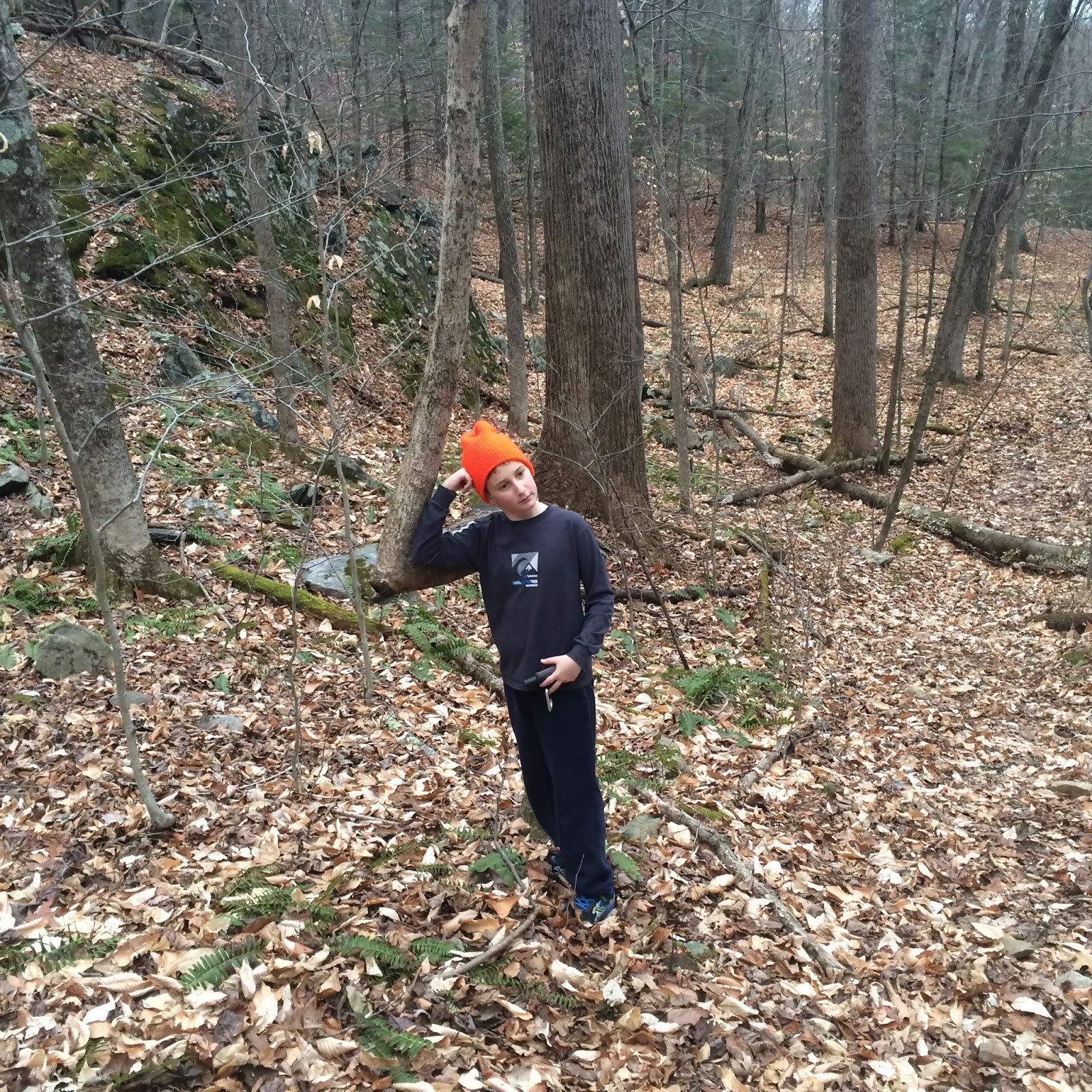
It's been awhile since but I finally got back into the forest
to enjoy this wonderful, New England Winter!


I came in at Pond Brook and took the blue trail to the Mulikin.  Pretty, well defined snowshoe track on the blue trail that you could ride on a fatbike.  Most of the Mulikin was largely untouched.  Further up, there was a track that must have come in off the Blue Trail from further down.  I followed this a bit but then took a cut off route to the Poly Brody that I ride from time to time but is all messed up from various blow downs.


I was happy to see that I would be the first to be snowshoeing on the Gussy!


Well, first for this snow.  You can see where the snow is compressed and with the new snow that someone has been riding the Gussy.  After another snowshoe on the Gussy it will be rideable, at least with a fatbike.


Looks like a herd of deer used the Hurricane Sandy Reroute to overnight during one of the snows.  There were big holes in the snow where it was dug out for them to sleep in.


I came across another sent of tracks that just stopped turned around.  Clearly this person was coming off the Echo Valley lot.  I stopped at the Brew Crew Roller for some hydration replenishment and that it was funny that the track I was following did the roller, too.  Must have been a mountain biker on snowshoes. I followed the track for awhile and then split off down the Reach Around because it was untouched, even from mountain bikers.


I seldom take the Yellow/Blue trail on the bike for obvious reasons but if you must know, it's absolute crap!  No flow and tons of hike-a-bike.  


It's cool, however, to stroll through a section known as the Valley of Trolls with high, rock walls on both sides.


At the edge of the Forest I saw this no trespassing sign belonging to the neighbor who lives across the street from me.  I have seen him twice and only spoke to him once as I was riding by his driveway.  I think he lives in Long Island, is really old and not sure if the guy is even still alive at this point.  The guy that lives next door to him told me once that the care taker of the property thought he was going to get in his will.   There are 30 acres back there that I imagine is going to become another subdivision at some point.


MacQuillan is still visible on the sign.  There is another one just like this, only more readable on the southern section of the Valley of the Trolls.


While I couldn't recognize any houses, the ridge on the other side of the valley looked like the one behind my house so I started snowshoeing into the start of this valley/swale so I could get a GPS Track of it to see where I actually I am on the map.


From this point, I was basically above Bramble Trail.  The property lines up here are kind of sketchy.  When I look at Google Maps, there is a section that is land locked that I thought was town open space along with the property that separates the Bramble Trail Subdivision from the homes to the north.  I had heard there might be some trails through there made by some kid on a ATV but then again, are those really trails worth looking for?


From here I tried to the follow the Horse Trail (yellow) but found that I wan't to explore the terrain a bit more and found some really interesting contours.  Eventually, I picked up the Horse Trail again, that I thought was also the white trail which is some other bootleg trail some hiker (I think) started putting blazes up but stupidly goes no where.  Looks like the Equestriennes have co-opted that trail and made parts of it there own.


I have been through here before a few times.  When I first started using the forest I used to follow these old tapes that used this section, then went hike-a-bike on the blue, then split off again and eventually became the Upper Gussy Trail.  Turns it they were from my friend Tom who lives nearby and rides his horse in here.


However, it appears that the White Trail was recently changed and by the looks of it got some use this winter.  Hard to tell what that use was but it might be worth coming back and trying it out with snowshoes.


Here is a map of the route I took.