Online Map

Saturday, December 22, 2012

Potential Improvements to the Mulikin


I went out Friday and set pin flags for some potential changes on the Mulikin.  I am trying to get the Mulikin recognized by the State so that it will be an official trail but it might take some work.  If I can get it recognized as a trail then I can do some major improvements to it.  The key challenges are taking it off the blue trail and managing the fall line portions.  What I envision is closing the fall line descents in the winter and spring because they are just way too muddy but having them open in Summer and Fall.  To get around them, I laid out a pretty good alternative route.


There is an old trail that I used to ride back in the day that comes off the connector to the forest road that I marked.  But the big change will be wrapping around the incline after the stream crossing, which will probably need a bridge, which then sets up a run along a stone wall and then over to another ridge that will lead down to connect to the graded road portion of the Mulikin.


A big challenge will be the two stream crossings before and after the rerouted section pictured above.  There is going to be a lot of work needed but when it's done this going to be one fantastic trail.  One thing I noticed while laying out the pin flags is that all the pink engineer tape are I keep finding seems to now make sense.  I hope that who ever is doing this might contact me so that we can work together because there is going to be some overlap.

Thursday, September 6, 2012

Rake and Ride on the Gussy

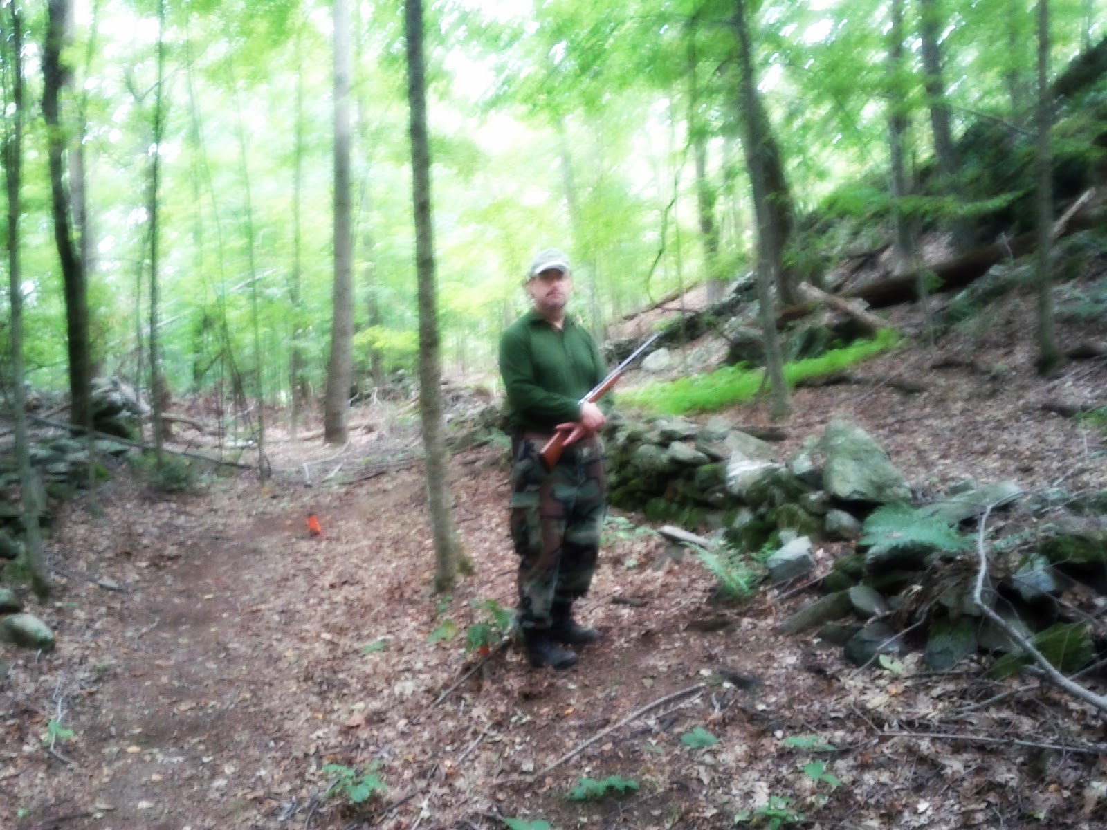
Looks like some trail minions, of the Huckle and Buckle variety, took it upon themselves to make some unauthorized additions over the weekend.  Some are great and others tell me that you may  know how to ride but no nothing about how to build.  Please don't take that as an insult but hopefully some of what I am about to critique here will rub off.


I like what they did to this up and over, firming it up and adding another log.  Gives you a few options, such as rolling it, or hucking it.  20 feet south of this they moved the blow down, out of the trail that I was using as a control point to slow down riders before hitting the technical section.  The removal is still good because it improves flow!  This is great!


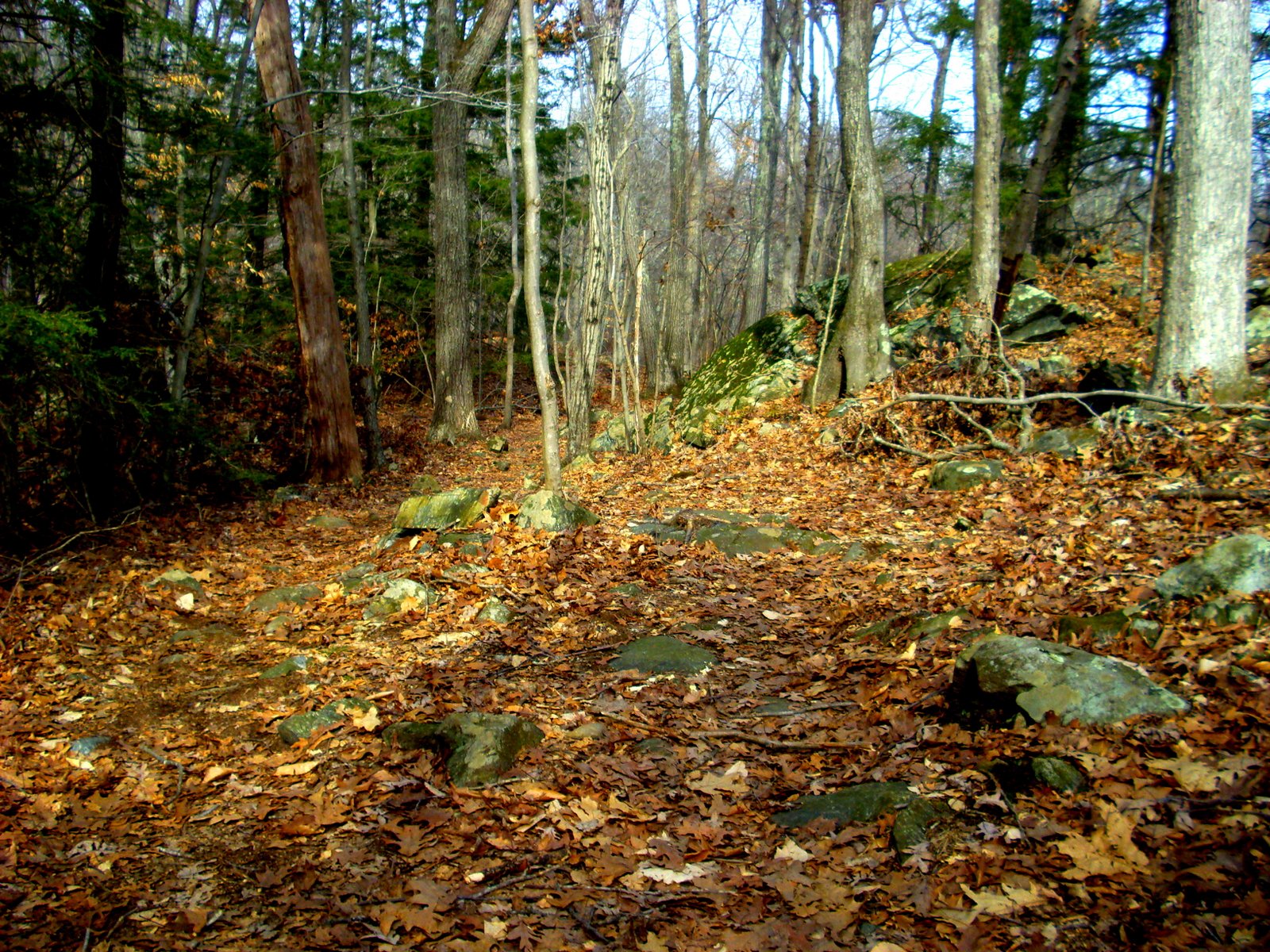
Ahh, the Three Sisters Roller!

I call this the Three Sisters because there are three distinct lines on this rock that you can roll.  The blowdowns after the Hurricane and Snowtober storms blocked the run into roller and I never felt like opening it back up because it really needed a better lead in.  The picture on the left shows the lead in coming at a 90 degree off the Gussy Trail, which isn't that great because it disrupts the flow.  Then when you hit the roller there should be three lines leading to the three different options.  The one on the right (going big) is really sketchy and requires a sharp left turn.  I couldn't find the line to the middle sister and the line to the youngest was there but I don't think it was them that intended that to be a line in the first place and was probably the original.


The roll out is pretty clear, just watch out for the tree on your right!  What would really make this a lot better is if the lead in started further down so that rather than starting at a 90 deg from the trail it started at a 30 deg angle and then further in split the trail into three sections.  The right most section needs to cut back more in order to line up to the steepest section better.
There is a new Huck at the second log ride, on the left (in the picture above).  It's funny, but I have always wanted to roll this rock but never did it.  Going to have to try it sometime to see what it's like.  On the other side is another, smaller, huck that I have rolled in the past but never gave it a lot of attention.  The minions gave it a little more defenition and shoe raked the landing.


I am on the fence about this last modification and I can see why you did it but I am not sure that I like it yet.  Basically they created a cheater line so you didn't have to maneuver around the tree that fell on the original trail that moved the trail over a little to accommodate last year.  While it straightened out the trail leading into the down hill section after the second log ride, my only fear is that it's about a 10% slope and that's right on the edge of fall line.  If anything it needs to be benched and the treadway needs to be brought down to the mineral soil.  Rake and ride is just not the way you do things.  I unblocked the original section but need to come back and ride it a few times to see if I really like the change.


Once again, it's Orange Season again!

Came across this hunter on the ROW (right of way) where the Gussy trail intersects with the Blue Trail. 

Sunday, May 20, 2012

Beach goers and Motos


Riding through Upper Paugussett the other day I noticed all these cars in the lot at Echo Valley.
Could be hikers or Geocashers, but my bet is that they are at the beach!


That is made by a motorcycle


This looks like an ATV track, too, on the Poly Brody

Saturday, May 12, 2012

Armoring on the Mulikin


Found this nice stream armor on the Mulikin Trail the other day.  In case you are wondering where the Mulikin Trail is, I have highlighted on the map below.  The armoring is the third stream crossing on the trail, also marked on the map below from top to bottom.


On the Gussy


Looking up the re-route


Looking down the re-route


A little rake and ride action leading to this rock jump?
More of a kicker than anything.

Saturday, April 14, 2012

Spring in Upper Paugussett

Top of the Hill:  Poly Brody to the left and Mulikin to the right
Looking back down the Poly Brody
Really?
Firewood
No more use for the re-route?
The Gussy is looking dry

Sunday, April 1, 2012

Blown


Windy conditions last week have blown the Gussy Trail
and it's riding really sweet

Saturday, March 31, 2012

The Mulikin Trail is Reopened!


The Trail Gnomes have been busy, opening the Mulikin Trail up
after the Hurricane and Snotober.

The Hurricane brought down this tree completely blocking the trail.
There was a crudely forming go around but that's no longer necessary.


Cuttings from the big tree are being used bridge this muddy spot.
If it were me, I would just route around it all together.

Thursday, March 15, 2012

The Equestriennes are back!


It's not like they ever went away but they don't seem to ride much in winter.
Their presence seems to be smelled more than anything.


It's not that they are not welcomed, afterall the Upper Gussy Trail is a shared used use trail.
It's really more of the fact that they refuse to clean up after their horses.


And the argument of it's just chewed up grass doesn't really fly.
How about I eat celery and carrots for a week and take a crap in your front yard?
It's just chewed up vegetable matter, right?


All I am saying here, is when your horse does a dutie on the trail,
please dismount and kick that shit off the trail!
Afterall, shit is still shit.
Posted by Picasa

Wednesday, February 8, 2012

Winter 2012

Mountain Bike Tire Tracks


Looking east


Double Stream Crossing on the Gussy Trail


Rock Garden on the Gussy